This past November, District staff members Rachel Hammack and Kristin Adams assisted the USDA-NRCS with subaqueous soil sampling in the Great Bay. The NRCS Soil and Plant Science Division is responsible for surveying, mapping, and interpreting the nations soil resources and publishing the data in Web Soil Survey. The Coastal Zone Soil Survey (CZSS) Focus Team concentrates its efforts on improving the soil survey along the coastal zone, including the dunes, marshes, beaches, and shallow sub-tidal soils in coastal lagoons, bays, and inlets.
Based out of the Hammonton, New Jersey Soil Survey Office, MLRA (Major Land Resource Area) Soil Survey Office Leader David Steinmann and Soil Scientist Adam DeWolf are part of this team of soil scientists that works primarily in the coastal zone areas throughout New Jersey, Maryland, and Delaware.
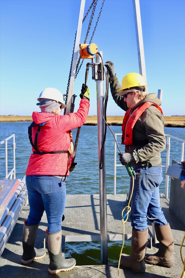
The Great Bay and Mullica River subaqueous survey sampled the subaqueous soils (soils that are submerged for more than 21 hours each day) or better known as the “bottom of the bay” or “bay muck” throughout the watershed. An electric vibracore with a 3-inch sampling tube and/or a McCauley peat auger were used to retrieve the samples. The samples are then brought back to a lab for analysis at a later date.
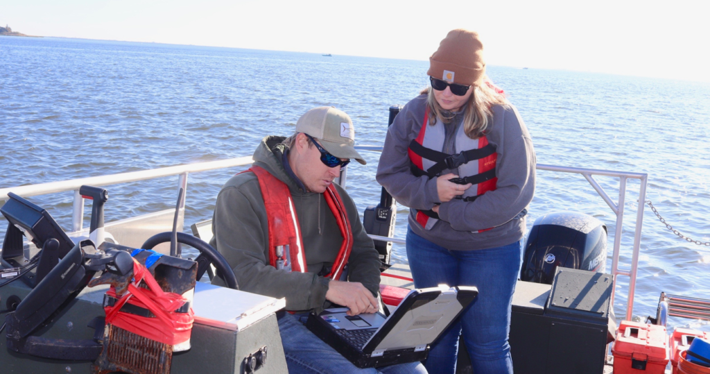
A customized pontoon boat is used to navigate to pre-determined sampling locations based off landform and bathymetry. While on site, collection of site data including bottom type, landform, water depth, presence of SAV (submerged aquatic vegetation), latitude/longitude, and water quality are completed. Collectively, this data is used to classify and map the soil series throughout the estuary, similar to terrestrial soil mapping. Each soil series and mapping unit contains its own set of information, and once interpreted is available for viewing on Web Soil Survey.
New Coastal Zone interpretations available on Web Soil Survey include suitability for Eastern Oyster Habitat Restoration, Eelgrass Restoration, Hard Clam Habitat, CMECS substrate classes, and Land Utilization of Dredged Materials, with many more coming soon. A variety of partners, state and federal agencies, and universities use this information for a variety of purposes from determining suitability for aquaculture production, planning research and restoration efforts, managing dredging projects and many more applications.