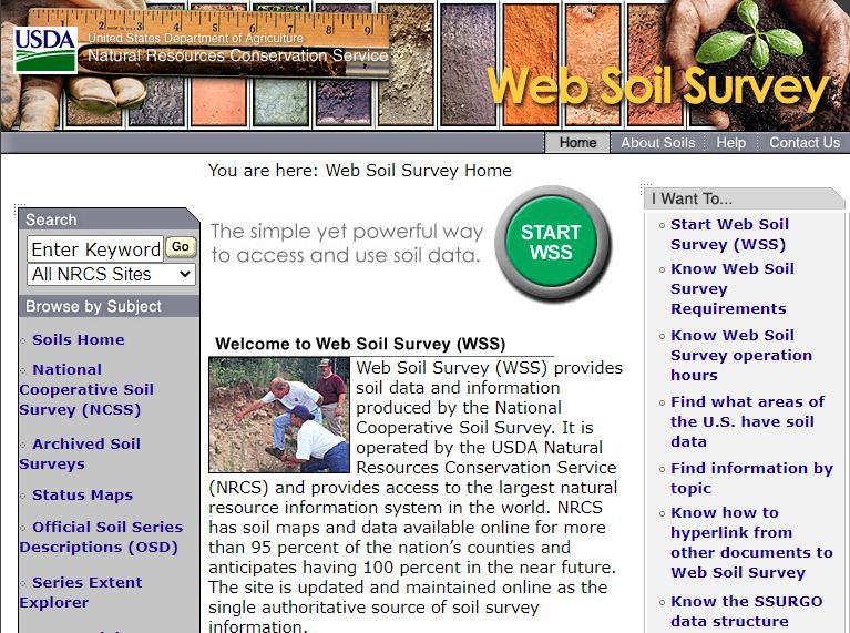
New Jersey NRCS has numerous resources on soil available. Natural Resource Conservation Service Website has an extensive list of resources available, from searchable data to historic traditional soil surveys which include soil maps, a manuscript of soil descriptions, and interpretation tables.
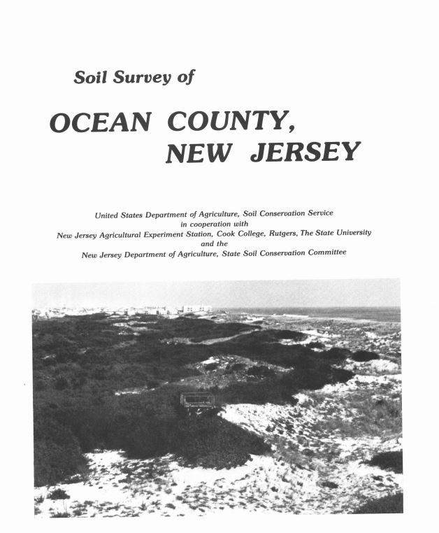
Soil Survey of Ocean County
The Soil Survey of Ocean County, originally issued in April of 1980, is to be used as a historical reference only.
This is a publication of the USDA – Natural Resource Conservation Service, in cooperation with the New Jersey Agricultural Experiment Station, Cook College at Rutgers University, and the NJDA-State Soil Conservation Committee. Soil properties that affect land use are described, broad areas of soils are shown on the general soil map, and the location of each kind of soil is shown on detailed soil maps. The Ocean County Soil Survey is available online in PDF format at the USDA website.

California Soil Resource Lab: Soil Survey App for your Smart Phone

iTunes Preview
GPS based, real-time access to USDA-NRCS soil survey data, formatted for the iPhone. This application retrieves graphical summaries of soil types associated with the iPhone’s current geographic location, based on a user defined horizontal precision. Sketches of soil profiles are linked to their official soil series description (OSD) page.
Soil series names are linked to their associated page within the CA Soil Resource Lab’s online soil survey, SoilWeb [1]. An up-to-date map of were data is available for queries can be found here https://casoilresource.lawr.ucdavis.edu/gmap/


